How to create Terrain Maps in Blender
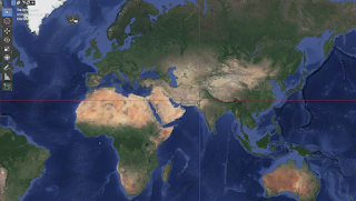
POC activity Select any portion of a Google Map.
Generate a texture using Google satellite imagery Generate a height map using elevation data provided online by NASA Generate 3d Terrain Mesh inside Blender. Use these meshes as background in our scene. Picture of Karakoram Range Terrain Map Preliminary Steps Download Blender GIS add and install in Edit-Preferences-Addon https://github.com/domlysz/BlenderGIS Install GDAL (Geospatial Data Abstraction Library) using brew or pip Steps -> https://gist.github.com/kelvinn/f14f0fc24445a7994368f984c3e37724 Enable Node Wrangler Add-On Load Google BaseMap from GIS Menu